Maps

Catalis - Town Map

Catalis Webmap is the tool used by the Town of Whitecourt to create a public version of our geographical information system (GIS).

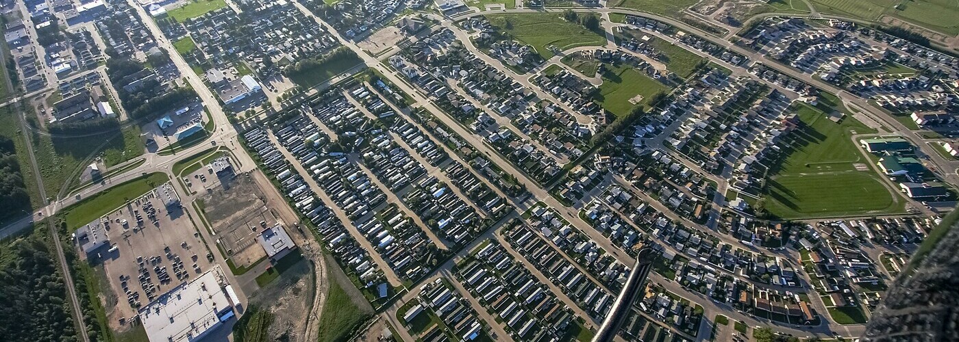
The public facing version of this system allows residents to view municipal facilities and infrastructure, as well as various types of property information such as addresses, zoning, lot lines, and assessment.   This tool is interactive and also allows users to view aerial imagery, measure distances, and create printable maps with customized text and redline features.  

Enter Catalis

Tip: Use Google Chrome for optimum performance

Maps

General Street Maps

Trail & Playground Maps

Parade/Event Maps

Snow & Ice Control